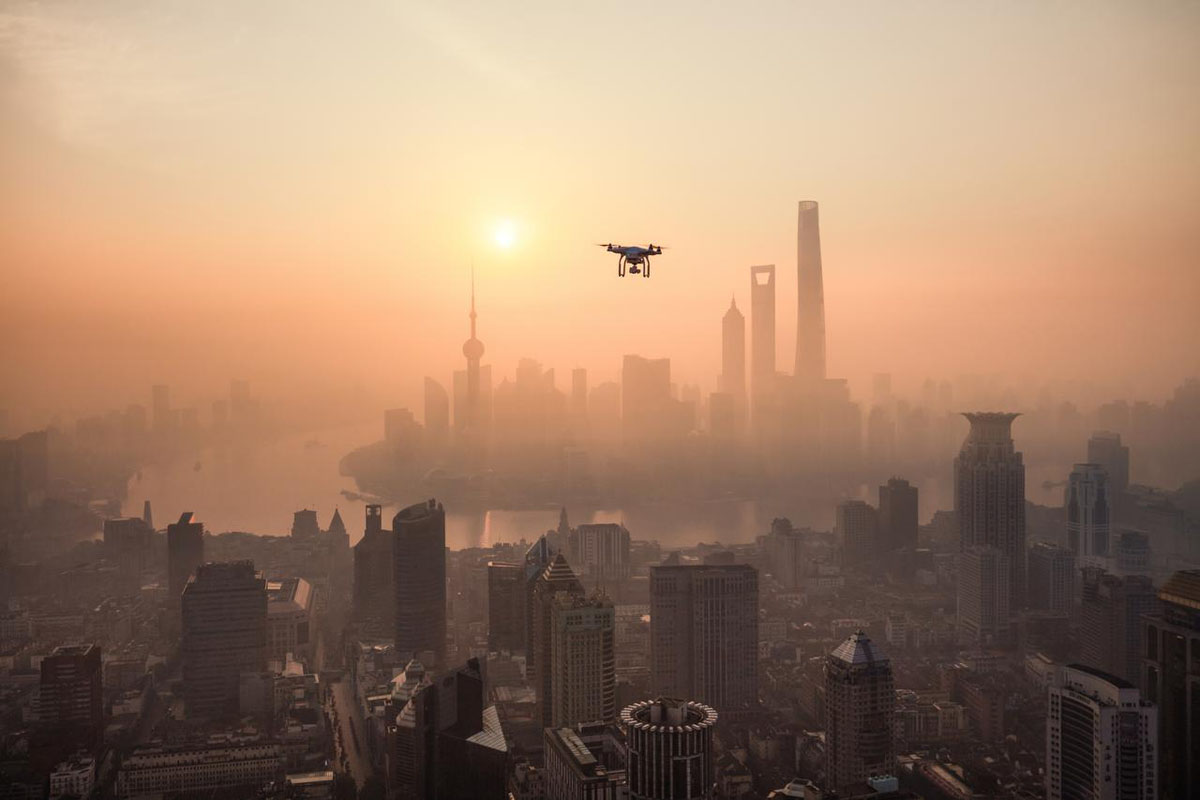
The technological advancement of drones makes it foreseeable that they will have a greater importance accompanied by the growth and improvement of other technologies to complement their uses and potential.
A drone, according to the RAE definition, is an “unmanned aircraft”, a clear and concise definition.
We are facing an industry whose relevance can also be seen in that, according to data from the European Commission, it will generate approximately 150,000 jobs only in the EU until 2050, with a wide range of professional profiles among the most demanded.
Increased capabilities are turning drones into increasingly intelligent, robust and powerful devices and their application covers use cases from different industries. Let’s take a look at some specific examples.
Drone use cases
Package delivery
The combination of innovative technologies (5G, C-V2X communications – the same ones used in the connected car – RTK technology and mobile location) enables communication between drones and smart cities.
In a pilot developed by Telefónica together with Correos, the two companies presented in early 2023 a first use case in Spain for package delivery based on air traffic control of drones connected to 5G.
The aforementioned pilot consists of the flight of several drones that communicate with each other and with different urban elements connected to make a delivery of a package at a specific point being able to find along the trajectory both another drone and a restricted area zone warning.
Specifically, there are three specific use cases applied to this parcel delivery pilot:
- Coordination of traffic between drones in a way that avoids possible collisions between them.
- Warning of a restricted area in order to leave this area and continue its route in case of having accessed it.
- Delivery of packages in a mobile point that sends its position periodically so that the drone goes to that point, makes a precise landing and makes the delivery.
Security
In the area of security, the drones’ ability to send real-time data to the centralized autonomous management platform, which synchronizes operations, is relevant.
A Telefónica pilot offers a solution that allows programming an autonomous flight zone in which drones can detect unauthorized persons through AI analytics integrated into the platform.
In addition, it sends images in real time thanks to 5G for analysis and has the possibility of integrating the event verification function to inspect the site in case of any alarm, as well as the ability to detect, identify and neutralize other drones.
Drones can also help municipal authorities in the security of cities by providing real-time images of areas that lack fixed cameras or have poor visibility.
Likewise, the video analytics provided by the drone can be used for panoramic shots to count people or vehicles or to control crowds, among other things.
Infrastructures, such as railways
Inspections of different infrastructures (such as roads, industrial buildings, tunnels or railroads) can also be improved thanks to drones equipped with GPS or cameras.
A concrete example is a solution for remote inspection of railway tracks with 5G and drones in the Spanish autonomous community of Galicia, specifically in the provinces of Ourense and Pontevedra.
The service allows remote piloting of a drone equipped with high-resolution cameras and a 5G modem to collect images of the railway tracks and their subsequent transmission in real time thanks to 5G technology.
These images are later processed with artificial intelligence, which allows automating the inspection of the track.
Other infrastructures
Although we have focused on the specific case of railways, we cannot lose sight of the fact that drones can also be used to analyze other types of infrastructures, such as photovoltaic parks, electricity grids or wind turbines.
The ability of the drone to be equipped with various sensors, HD cameras, thermographic cameras or LiDAR sensors means that they provide data that other sensors could not provide, which by applying data intelligence allows to automate the analysis of the images or data captured by the devices that are on board the drone.


